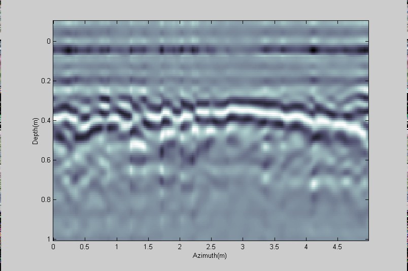
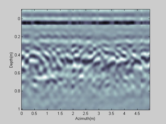
| Filename | pav1.dat |
| Description | Measurement of pavement under cover. |
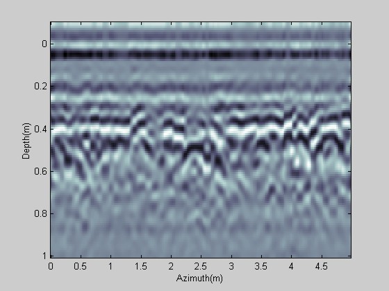
| Filename | conc1.dat |
| Description | Measurement over a concrete slab behind near the pavement measurement. |
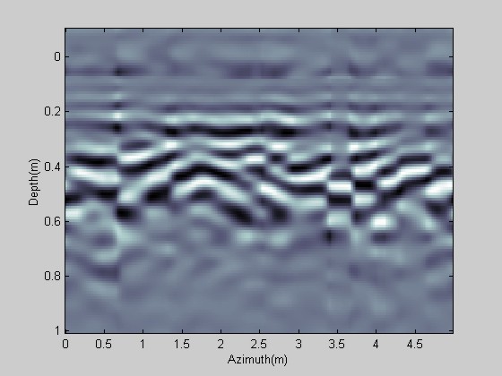
| Filename | conc_joint1.dat |
| Description | Measurement of the concrete passing over a joint between two slabs. |
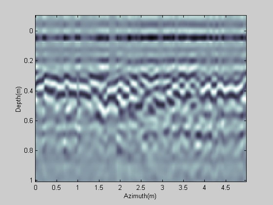
| Filename | conc_joint2.jpg |
| Description | Measurement of the concrete passing over a joint between two slabs. |
| Filename | tranv_conc_pipe.dat |
| Description | Measurement at right-angles to previous concrete measurements passing over a large drainage pipe. |
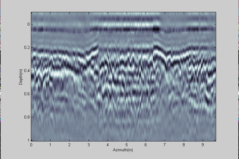
| Filename | road_hump,jpg |
| Description | Merriman road survey. Long scan passing over a speed bump. |